
I had to laugh after we started planning this trip, because I Googled Treriksröset and discovered it was a big clump of concrete out in the middle of a lake, 11 kilometers into a national nature preserve without any roads. Sounds exactly like my kind of vacation destination, doesn’t it? Heh. But it was on Anders’ bucket list, and to be honest, the trip itself sounded pretty epic, going from tip to tip in Sweden. I was a little unsure of being able to do it, since there are no bathrooms once you get on the boat, and then you have a 6.4 kilometer roundtrip hike and I’d have to pee on a tree if I got desperate, but it turned out not to be an issue.
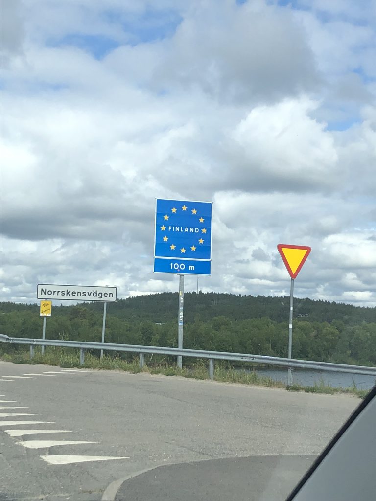
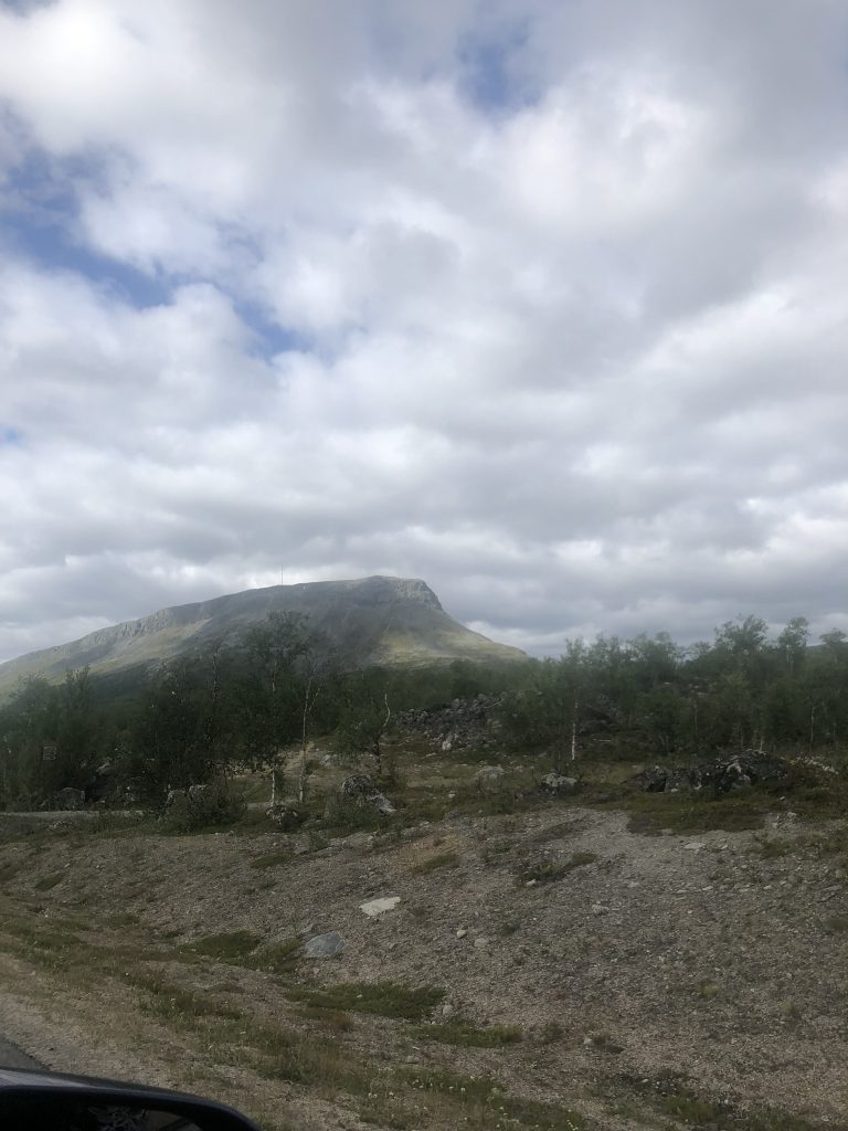
We went souvenir shopping in Jukkasjärvi in the morning, after breakfast at the Ice Hotel, and then headed out on our way. We crossed the border to Finland, and arrived in Kilpisjärvi in the early afternoon, perfect timing for lunch and then a nap. Kilpisjärvi has about 135 inhabitants at peak season. The closest town is little Karesuando, where we crossed into Finland, and the way there is through mile after mile of pine forest and stunted birch trees (with the occasional reindeer on the road, of course). Kilpisjärvi is beautifully situated, surrounded by mountains that still had some snow on them, with Mt. Saana looming behind it and huge Lake Kierakasvuopio gleaming in front.
The boat that goes to Treriksröset doesn’t actually GO all the way, and it only starts running after midsummer eve, which is why we were unable to go for Anders’ birthday a couple of years ago. It runs twice a day, at 10 am and again at 3 pm. It waits at the drop-off point for approximately 2 hours, then it returns to Kilpisjärvi. If you miss the boat, you have to walk 11 kilometers back. Despite my early morning bathroom issues, we wanted to make the 10 am boat, so after a decent night’s sleep, we got up early and had breakfast and got ready.
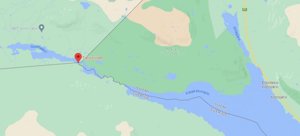
Map showing Kilpisjärvi in relation to Treriksröset. Koltaluokta Fjällstuga is where the boat drops you off.
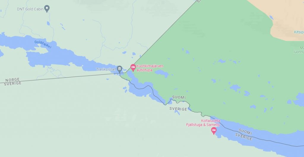
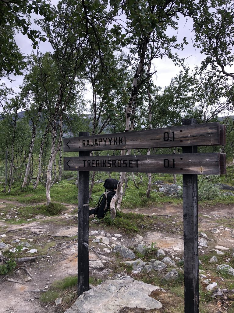
Map showing Treriksröset. There is literally NOTHING but wilderness out there and a couple of huts and camping platforms. We were actually hiking on the Swedish side, but once you get to Treriksröset you’re on the Finnish side again.
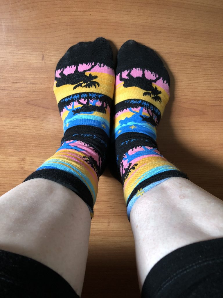
Down to the waterfront with about 40-some other people, all dressed appropriately for both the weather and hiking, and then me in my walking sneakers and rainbow moose socks. 😀 We had loaded up on mosquito spray, which was a must, since Norrland mosquitos are ubiquitous and relentless. I saw 2 women with net hats, which I had been joking about getting; they made me very envious. The spray definitely helped but you still had to wave clouds of them away constantly, and I got bitten THROUGH my clothes. We piled into the boat just before 10 and took off.
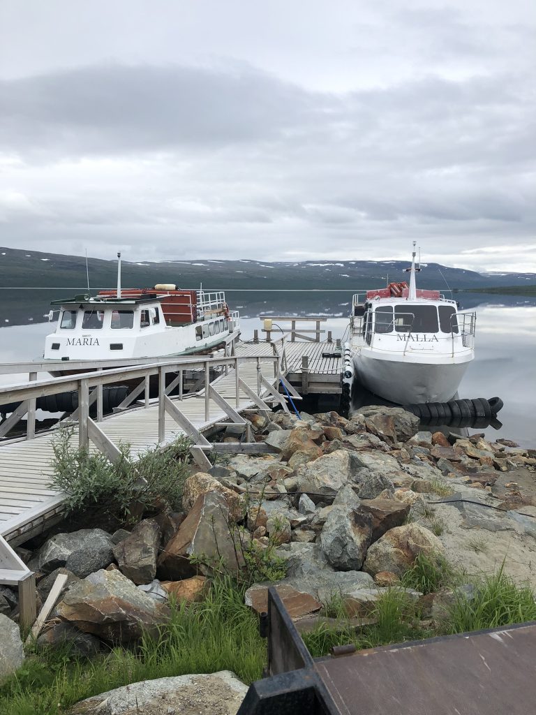
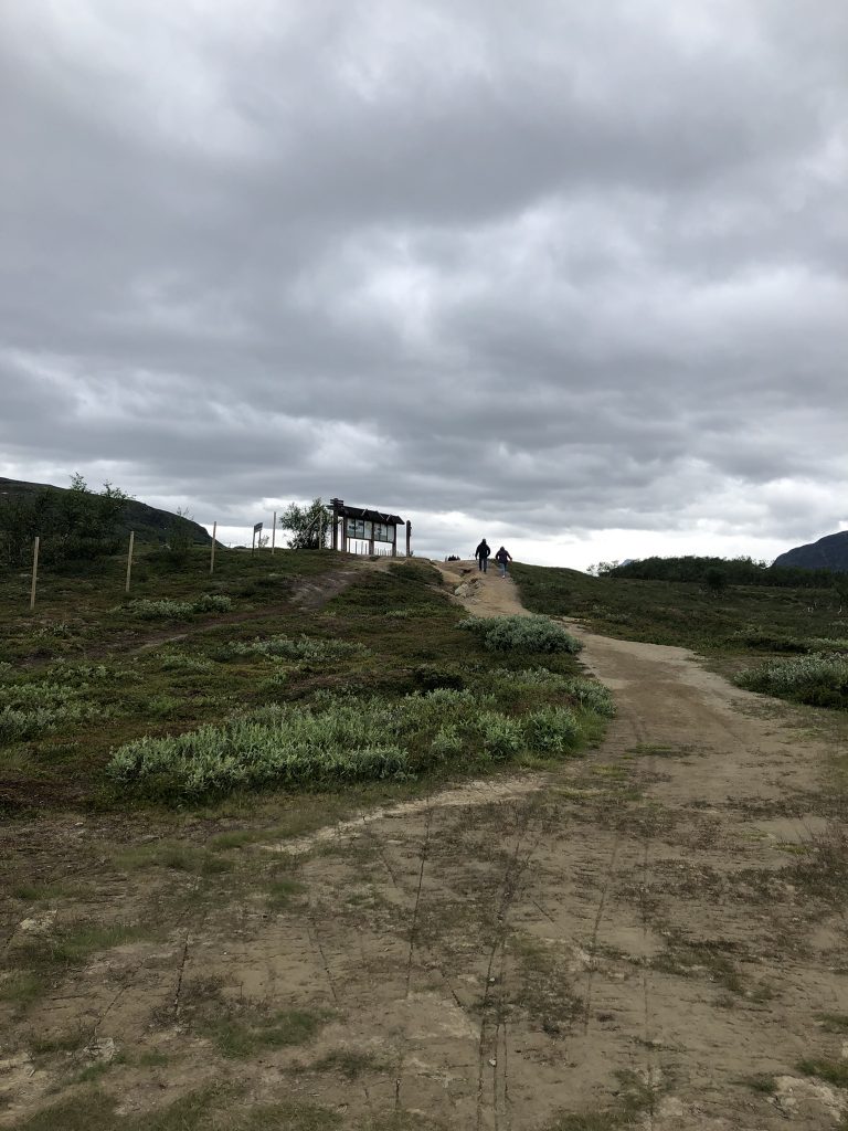
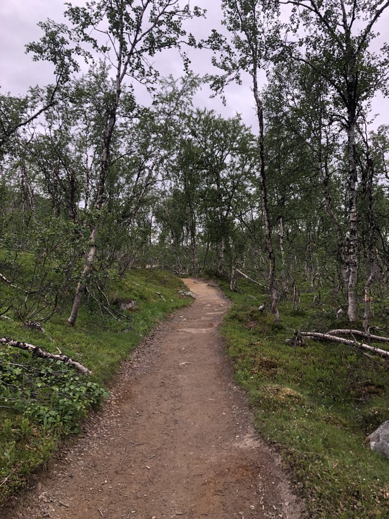
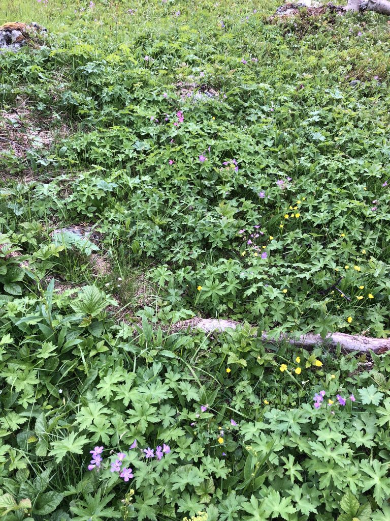
The boat ride is 30 minutes up the lake and we were then dropped off on the Swedish side of the lake at Koltalahti, which is a tiny Sami camping area. The path is very wide and easy to walk for the most part, though there were sections strewn with boulders, wooden slat paths in a few places over swampy ground, and a few ups and downs. We were surrounded by a forest of stunted birch trees quite quickly, with small lakes and ponds dotted along the way. Lots of colorful wildflowers carpeting the ground. Anders and I were about the middle of the group. The woman on the boat had given everyone her mobile number and told us to call if there were problems and we were going to be late getting back, as they would wait if they were asked to, but otherwise, we had 2 hours to get there and back and we needed every minute of it, even at a brisk pace!
It was quite chilly, only about 13C and very overcast but that turned out to be fine: we didn’t get too hot hiking and it wasn’t too cold either. It started raining on us when we were a little over halfway but not much and though we put our raingear on, we took it off again as soon as the rain let up, as it was quite sweaty hiking in it over our jackets.
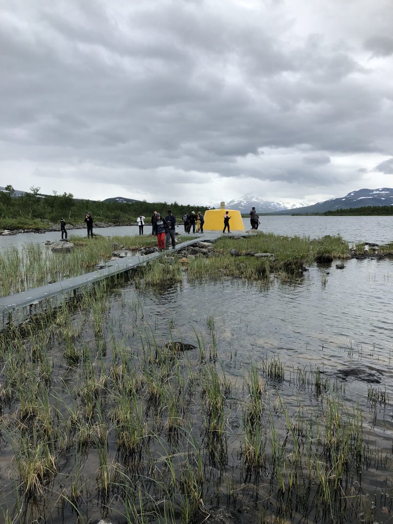
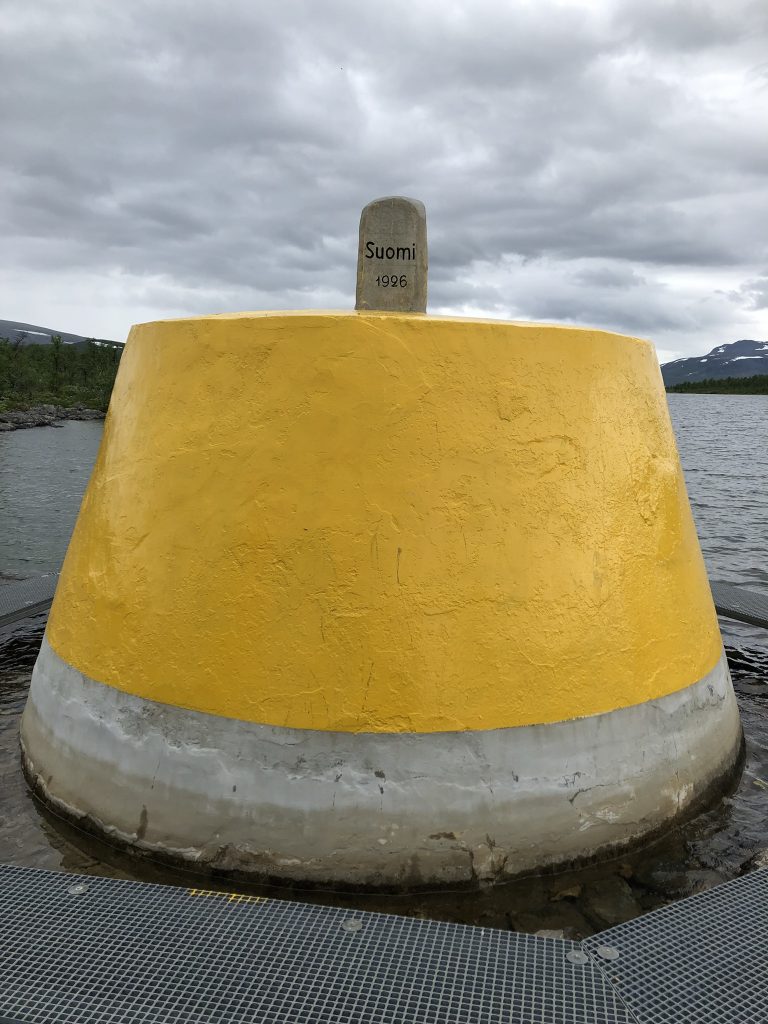
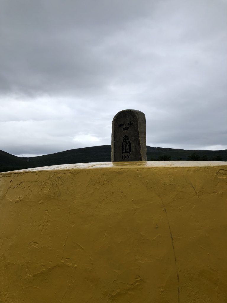
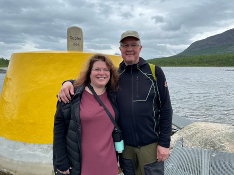
Apparently the photos that I had seen of Treriksröset online were old because it wasn’t a grey clump of concrete…it was a BRIGHT YELLOW clump of concrete, hahaha! There are metal walkways out to the actual marker. Apparently back in the late 1800’s it was an ACTUAL cairn, piled up with large flat stones. I wish it still was, that would have been much cooler than the concrete clump, even painted yellow. There is a 3-sided stone set on the top, with Sweden, Finland, and Norway clearly marked. We took photos, had a guy take a picture of us in front of it, and then turned and headed back for the return 3.2k. We made it back to the boat with about 15 minutes to spare, and I didn’t even have to worry about a bathroom: made it all the way back on the boat to the hotel!
We had another nap after we returned, and then dinner (delicious salmon pasta). John called on Facetime so we talked for awhile, and Karin sent us a video of her watering the vegetable garden. It felt very good to have finished the tip-to-tip part of the trip, at least the Swedish part!
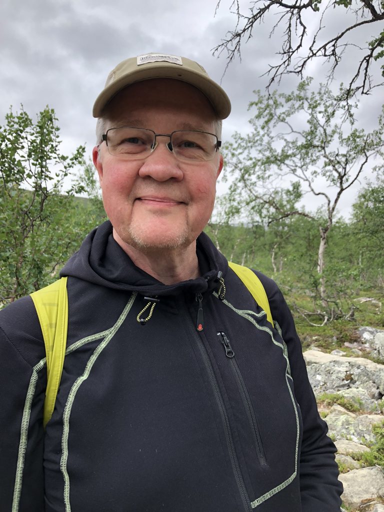
Happy Anders!
Next up: Finland! Rovaniemi, Kajaani, Loimaa
Mood: accomplished
Music: Saskwatch—Your Love